

Heavy Rain in Miami and South Florida Tuesday Through Thursday: 2 to 4 Inches and a Flood Risk
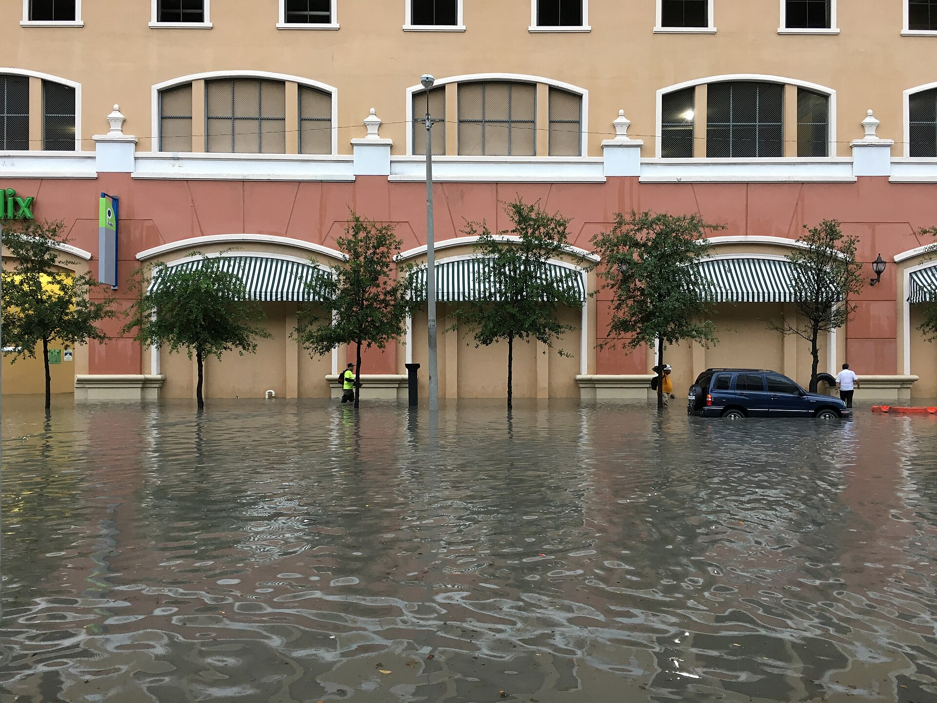
Heavy rain in Miami, Fort Lauderdale and Palm Beach starts Tuesday, November 17, and lasts through Thursday. The National Weather Service expects 2 to 4 inches, with pockets of 6 to 8. Here’s when it will be worst, why streets may flood faster than usual and how to get ready.
Friends in South Florida, the cool, sunny weekend is over, and a wet week is ahead. On Monday morning the National Weather Service in Miami (NWS) warned of an increased threat of urban flooding along the east coast this week.
What forecasters expect:
- Monday, November 16: mostly dry, with more clouds by evening. Brief showers are possible along coastal Palm Beach County;
- Tuesday: showers and storms spread along the whole east coast, heavy in places;
- Wednesday and Thursday: rain comes in repeated rounds, including overnight. These are the riskiest days;
- Friday: the heaviest rain shifts north of us;
- the weekend: rain chances drop again.
How much rain. The most likely forecast for Miami-Dade, Broward and Palm Beach counties is 2 to 4 inches through Friday morning. In a reasonable worst case, some spots get 6 to 8 inches or more. The Weather Prediction Center has our metro areas under a Level 2 of 4 risk for excessive rainfall on Tuesday, Wednesday and Thursday.
Why flooding may come faster than usual. The ground is still saturated from the rain in early November, so it will take less of a downpour than usual to put water on the streets. Forecasters are honest about the limits: exactly where and when the heaviest rain falls is still uncertain.
The beach and the water are rough too:
- a high rip current risk is in effect through Wednesday evening for Miami-Dade, Broward and Palm Beach beaches, so stay out of the ocean;
- a Small Craft Advisory runs until 7 p.m. Wednesday, with seas of 7 to 10 feet or more in the Gulf Stream.
What to do ahead of time:
- move your car to higher ground if your street or parking lot usually holds water;
- don’t drive into water on the road. You can’t see how deep it is, and an engine floods in seconds. Rescuers have a rule for this: “Turn around, don’t drown”;
- turn on emergency alerts on your phone and keep an eye on weather.gov/mfl;
- give yourself extra time on the road Wednesday and Thursday, especially at rush hour;
- take photos of your home and car before the rain. They will help with insurance if water does get in.
Temperatures stay comfortable: highs in the low 80s, lows around 70 to 73.
Rules and deadlines may change — always check the official source.




 Kristina Samofal
 Photo & Video Production